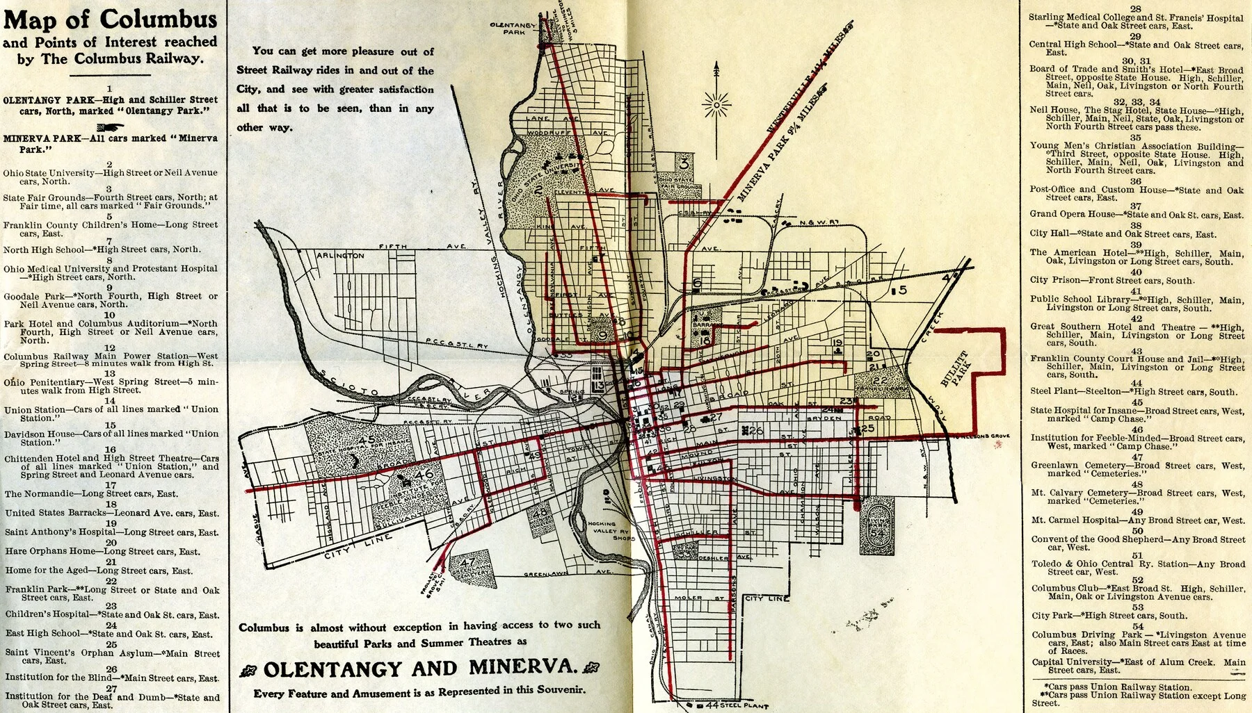
Columbus railway map
Source: Columbus Metropolitan Library, through the Ohio Digital Network and Digital Public Library of America.
Public domain. Original source and rights record. Display copies are resized and presented in grayscale.

Historical maps, photographs and botanical records illustrate this site. The source records and rights information appear below. These illustrations do not depict Commonstake premises, staff or client assignments.
Source: Columbus Metropolitan Library, through the Ohio Digital Network and Digital Public Library of America.
Public domain. Original source and rights record. Display copies are resized and presented in grayscale.

Source: Columbus Metropolitan Library, through the Ohio Digital Network and Digital Public Library of America.
Public domain. Original source and rights record. Display copies are resized and presented in grayscale.
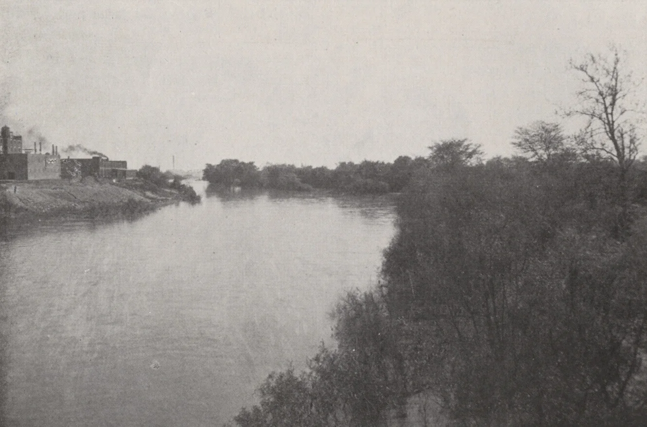
Source: UA Archives | Upper Arlington History.
No known copyright restrictions, Flickr Commons. Original source and rights record. Display copies are resized and presented in grayscale.

Creator: Roger Culos · Muséum de Toulouse (MHNT).
License: Creative Commons Attribution-ShareAlike 4.0 (CC BY-SA 4.0) via Wikimedia Commons.
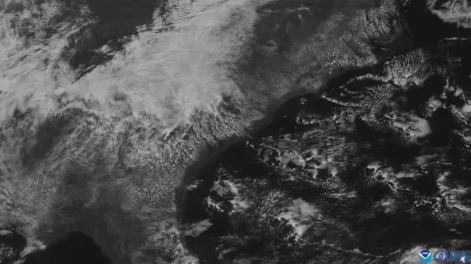
Source: GOES imagery: CSU/CIRA and NOAA.
Public domain. Original source and rights record. Display copies are resized and presented in grayscale.
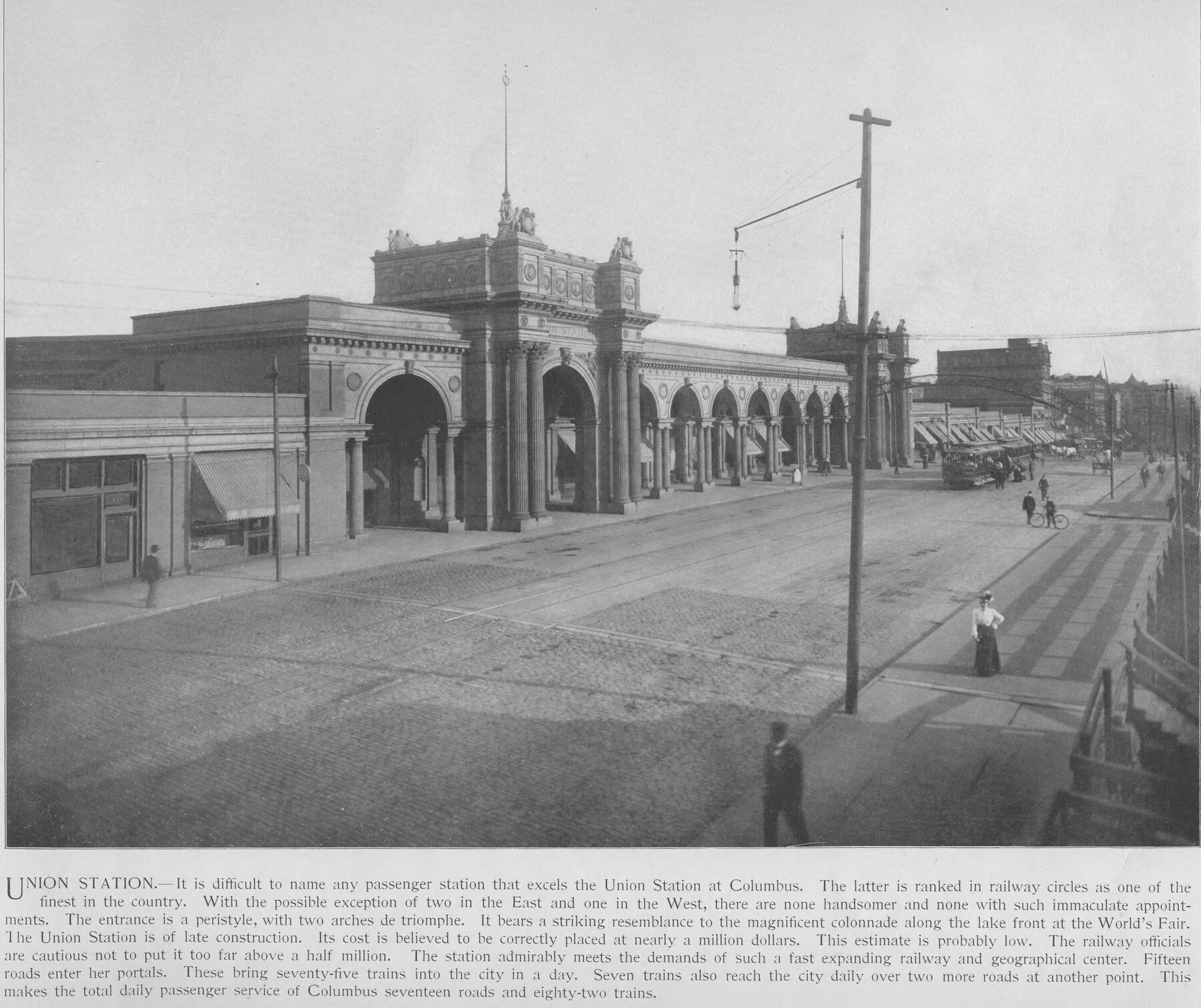
Source: Columbus Metropolitan Library, through the Ohio Digital Network and Digital Public Library of America.
Public domain. Original source and rights record. Display copies are resized and presented in grayscale.